Information Design + Data Visualization
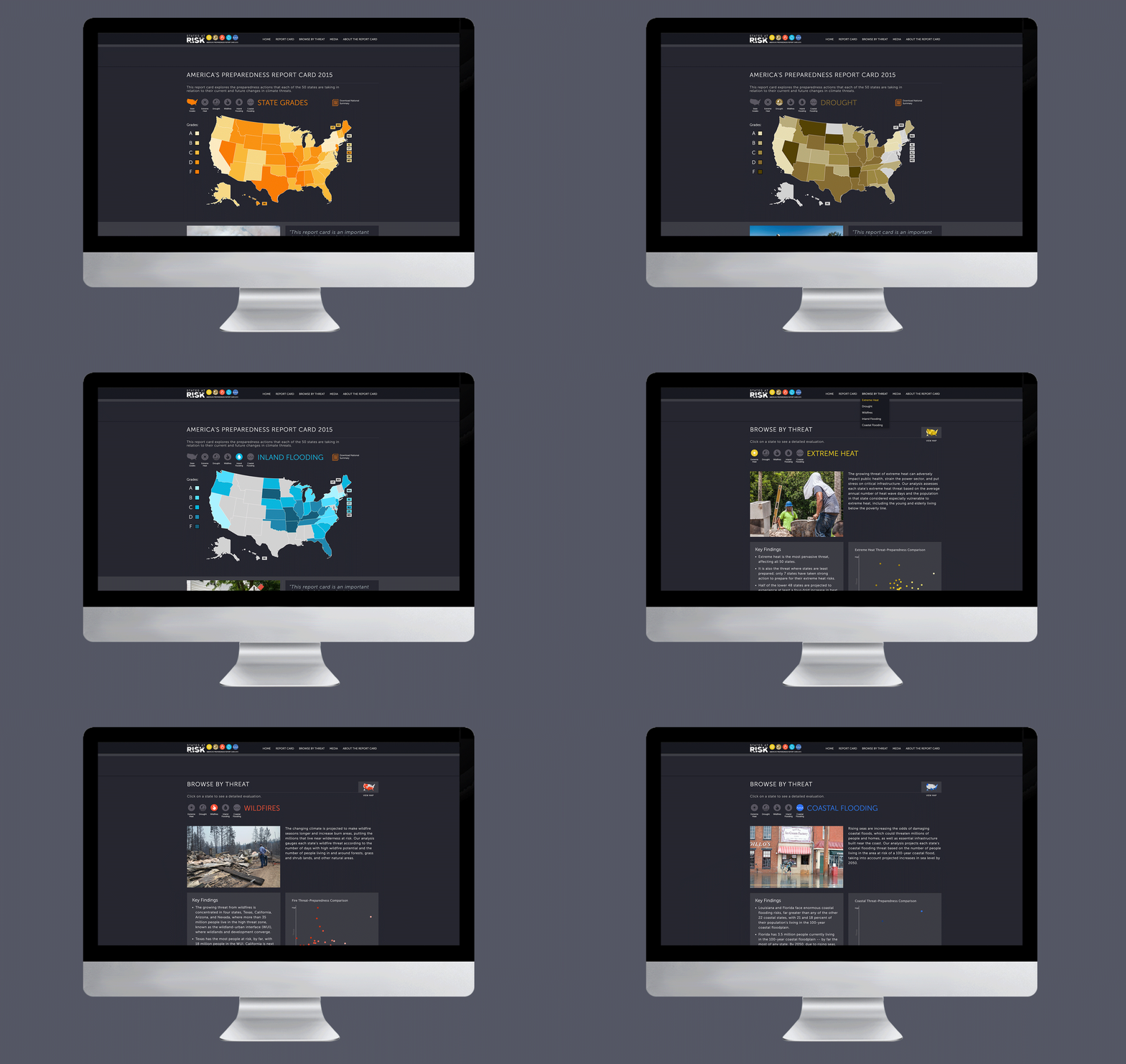
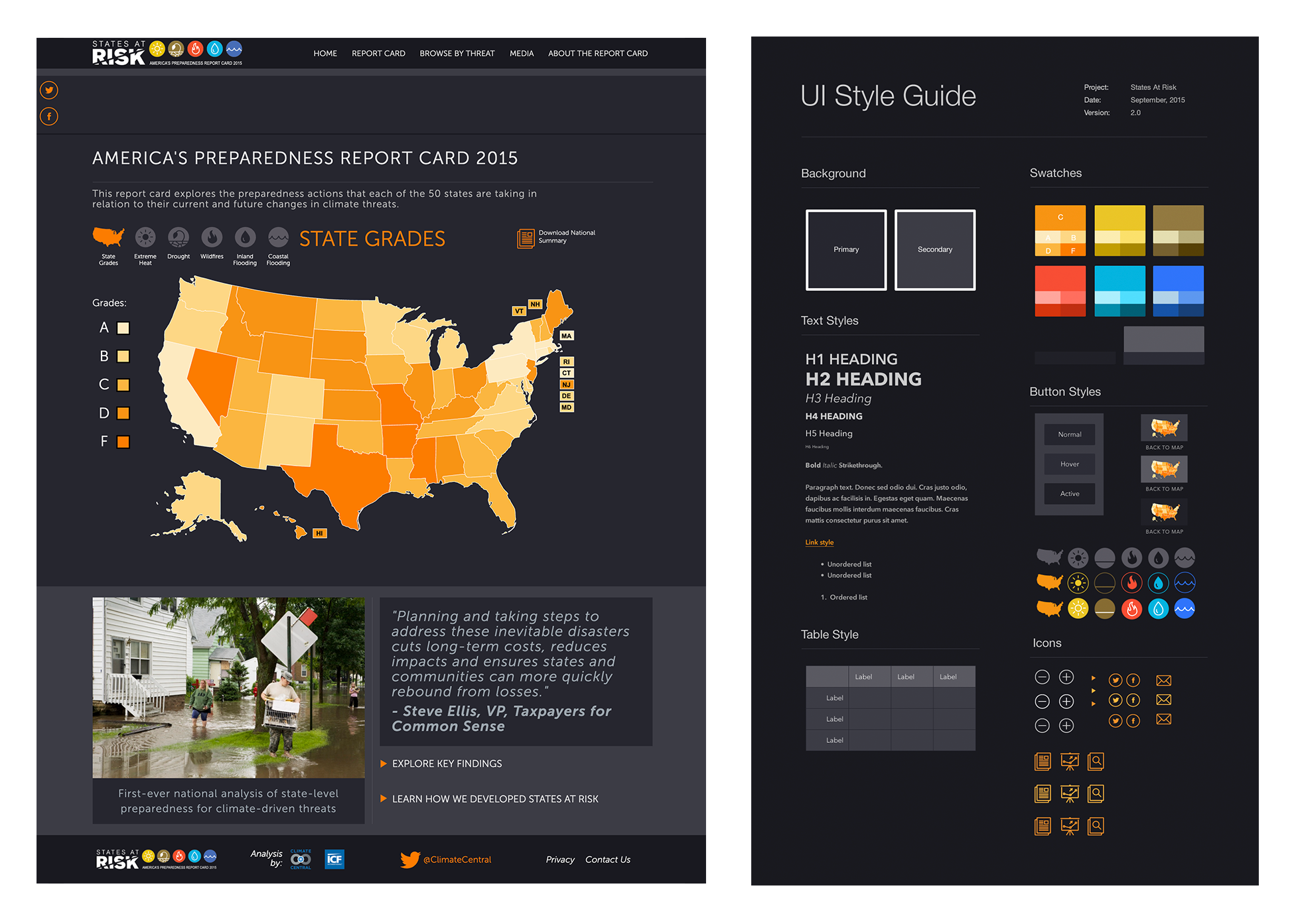
Climate Central researches and reports on the science and impacts of climate change. Working within their brand guidelines, I designed the States at Risk Preparedness Report Card, an interactive map and deep-dive experience showing how prepared each of the 50 states are for five key climate threats: extreme heat, drought, wildfires, coastal flooding, and inland flooding. The challenge was translating complex, multi-variable data into a visual system that was clear, accessible, and actionable for a broad public audience.